"Field rendering" of laser scan point cloudsWritten by Paul BourkeNovember 2021
The following describes some initial experiments in what is being called a "field render" of point cloud data, typically from a laser scan. The motivation is to create a visualisation of point cloud data without some of the limitations, specifically
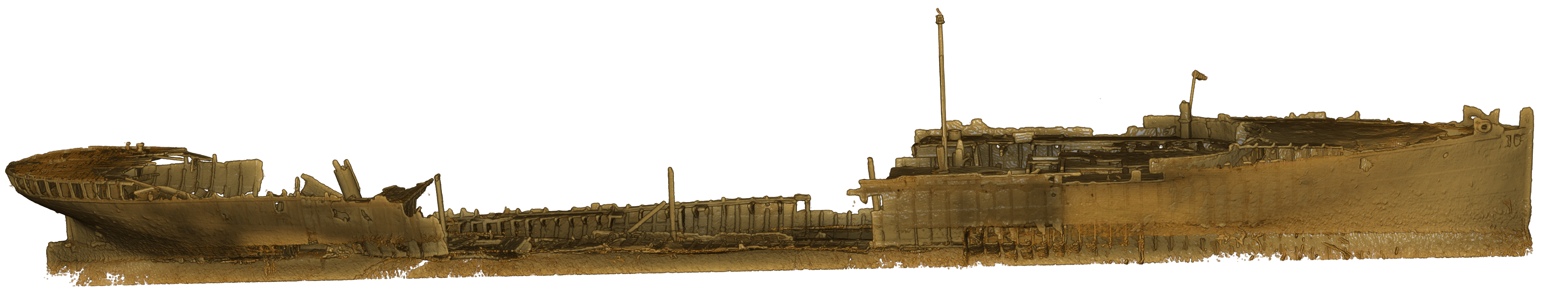
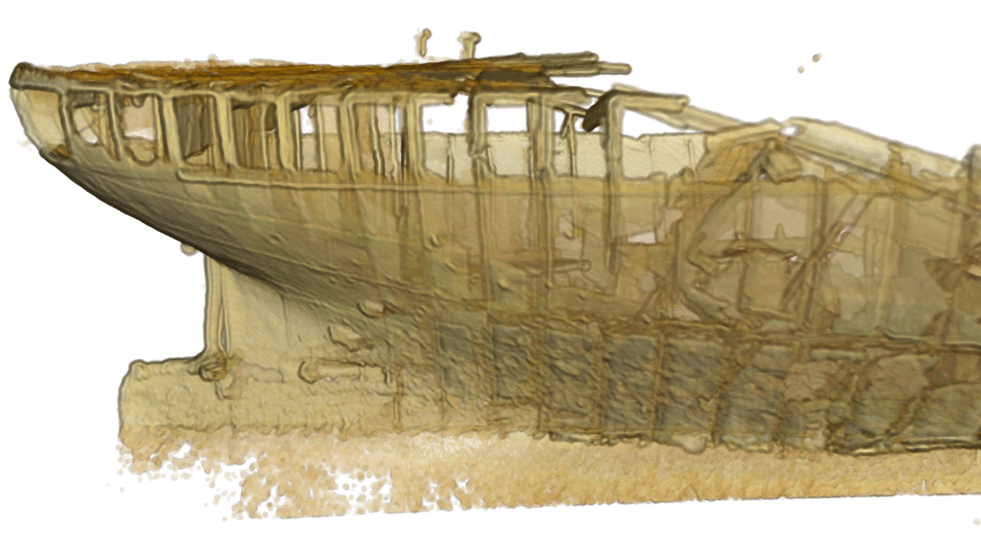
The model the approach is tested on is the Protector shipwreck resting near Heron Island off the cost of Queensland, Australia.

The basic idea is to consider each laser scan point as a distance weighted function, a cloud of diminishing density around the point. Various functions might be used, linear, Gaussian, exponential, and so on. The choice here is a density proportional to the inverse squared distance. This is not a new idea, the author has used it in the past for rendering cosmological simulations in the Dark fulldome production. This is also related to the metaball representations (credited to Jim Blinn). Except instead of taking an isosurface to generate a mesh, one renders the resolution field with a ray casting approach.
Some results using the technique are given below. 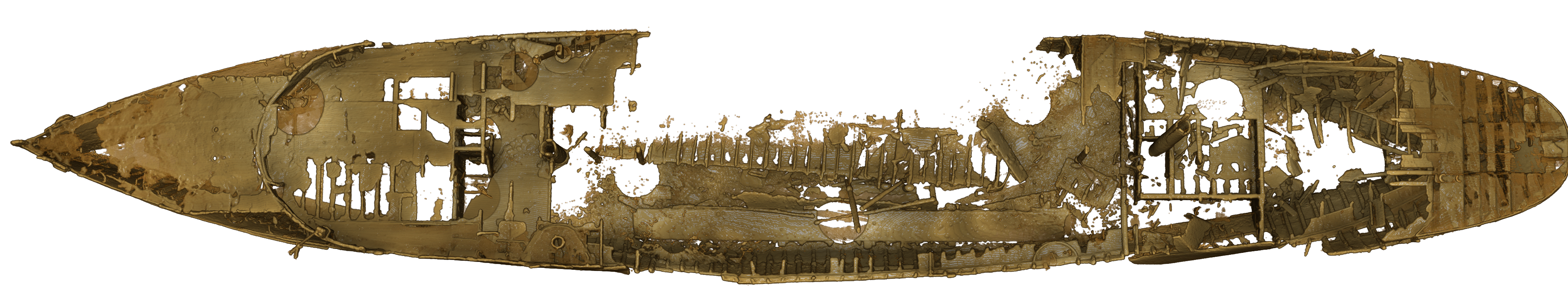

|

