Moon Topology based upon the Clementine dataWritten by Paul BourkeJune 2002
In 1994 the Clementine mission to the moon was launched. The mission gathered a large collection of high resolution images but also collected topology data using laser ranging altimetry (LIDAR). The mapping started near the end of February 1994 and lasted about two months, one month per hemisphere. The following image is a reduced version of the topology data, the lighter the region the higher the topology. Polar coordinate map
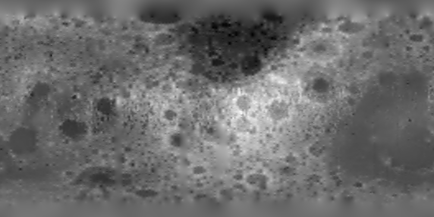
Unfortunately, while the resolution of this topology data is adequate for distant images it isn't nearly high enough for close encounters. The elevation samples are at approximately 1/4 x 1/4 degree steps, each sample is an offset to a sphere of 1738km (flattening of 1/3234.93), in other words at the equator the grid is about 7.5km. It is my "guess" that even those samples are not particularly independent of neighbours further reducing the real resolution. Another limitation of the data is that it only ranges from 60 North to 60 South latitude so there is no data to within 30 degrees of either pole.
| ||||||||